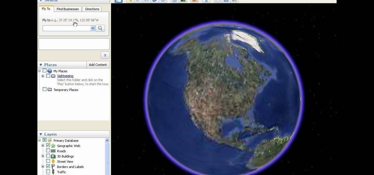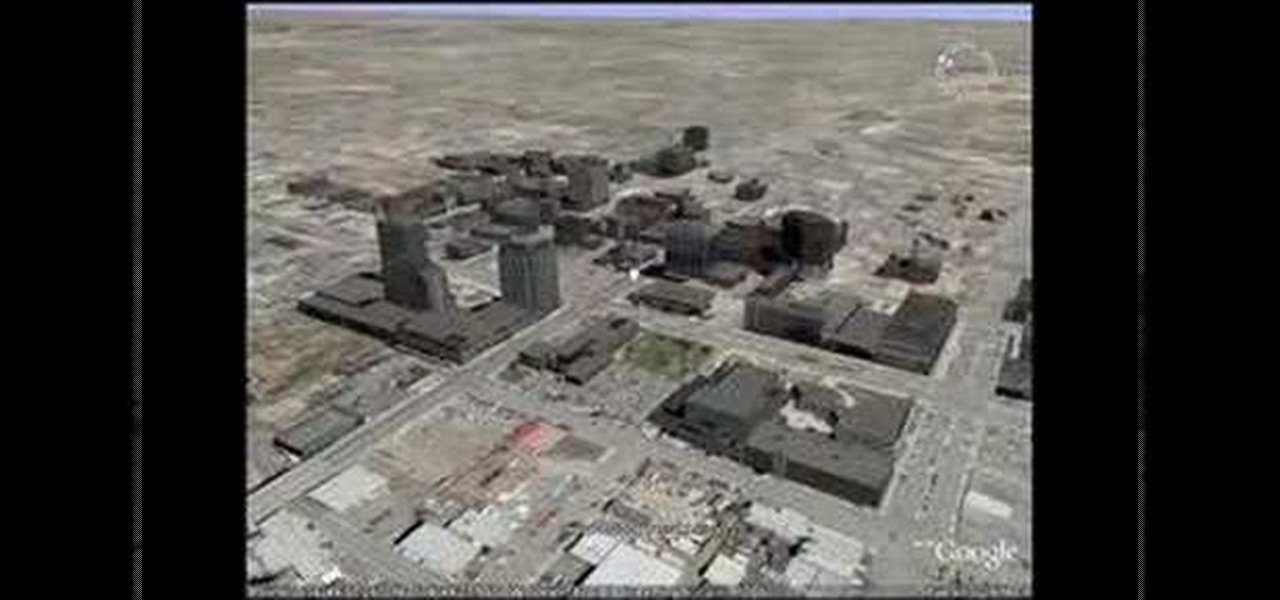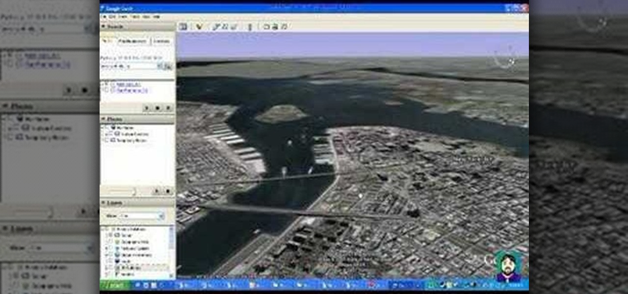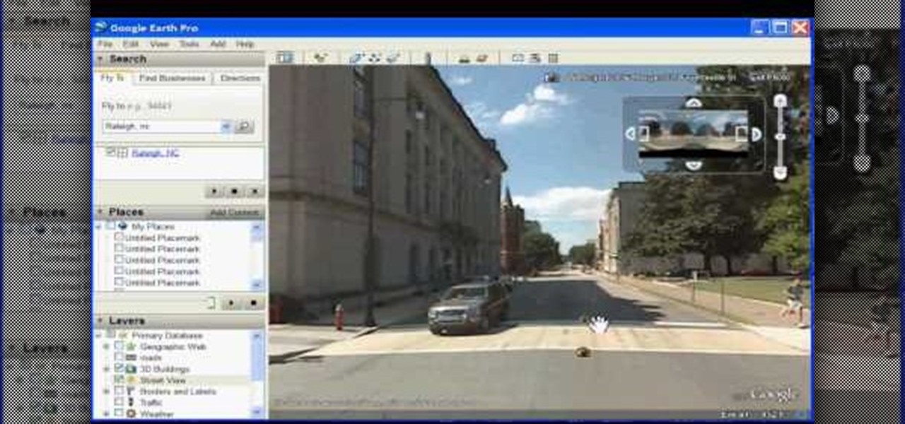
In this how to video, you will learn how to use Google Earth. First, download the program. Type in a city and state in the form. In the lower left, check street view to turn it on. Click the magnifying glass to zoom in. Some cities have 3d buildings. When you get really close, you will see cameras indicating street view images. If you get even closer, you will see spheres of the actual street view images. Click on it and the photo to get into the photo. In the upper right, you see controls to...
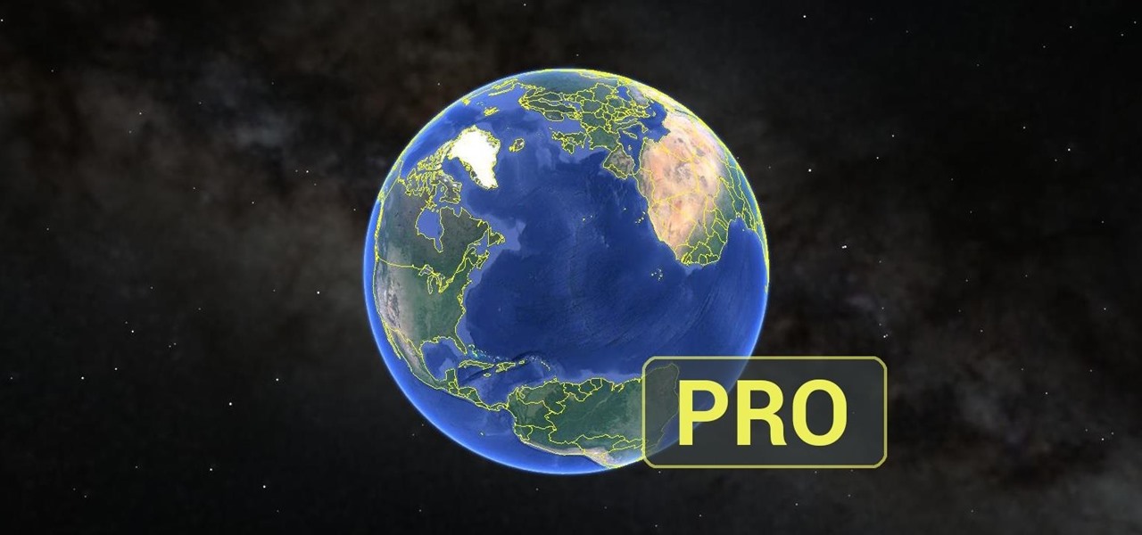
Google Earth has long served as a great tool to explore the furthest regions of our beautiful planet from the comfort of our own homes, but for those with more than just a recreational interest, a bundle of pro features had always cost $399... a year.
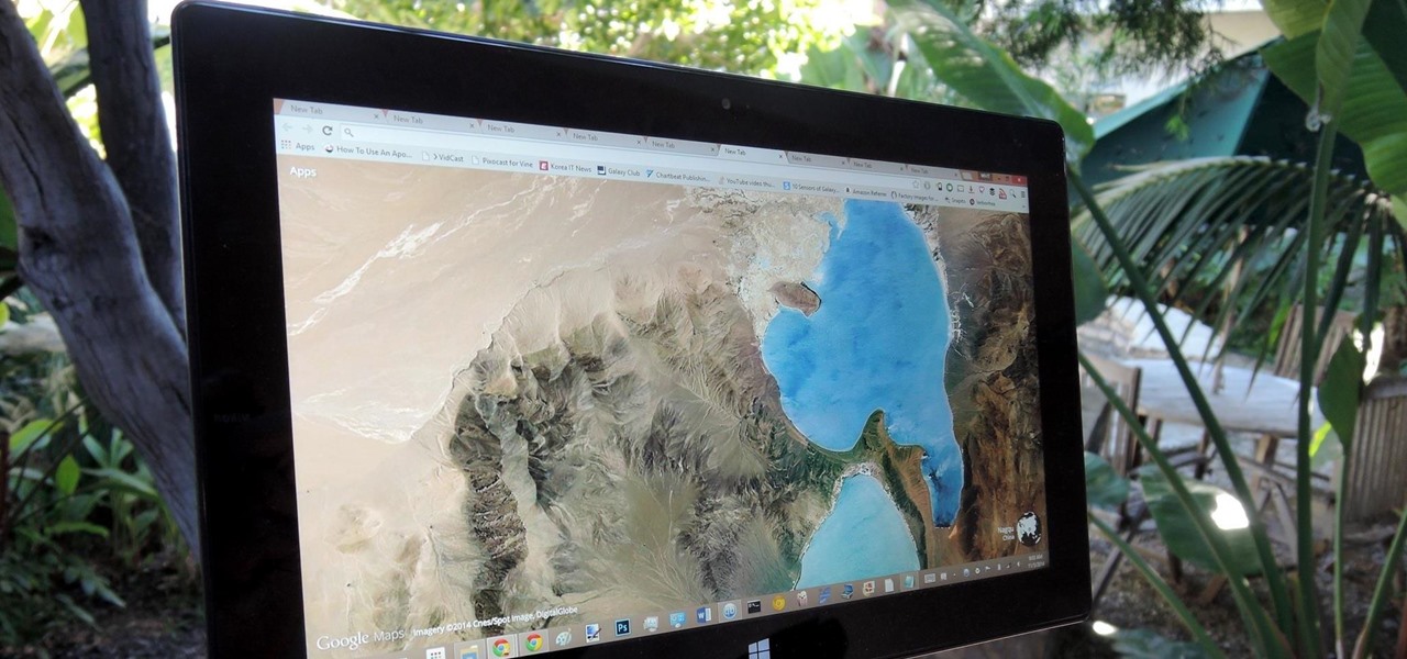
Google Earth is the cheapest way to travel the world, i.e., virtually. Their super satellites give us unbelievable access to images from pretty much any place around the globe, turning us all into would-be world explorers. Plus, these images make for stunning wallpapers.
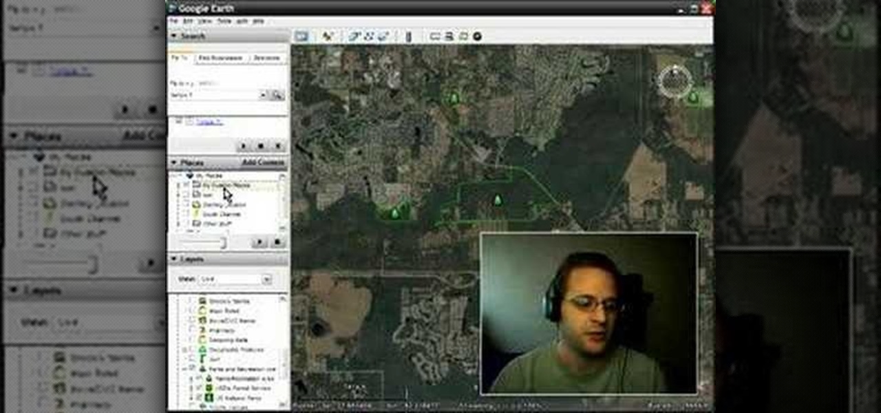
Google Earth is a great tool of the web, if you know how to use it the right way. Learn everything you need to know about using Google Earth in this powerful video series set to show you all the basic maneuvers and tricks to using the well known application. Google Earth is a cross-platform program, so the steps shown in this video series will work on Windows operating systems, as well.
Learn how create a Point Of Interest (POI) database using Google Earth and KML2CSV. You can upload this file to your GPS or GPS-enabled phone to create custom tracking searches.
Want to Google Earth-style bird's eye view of a given address? This clip will show you how it's done. It's easy! So easy, in fact, that this handy home-computing how-to from the folks at Tekzilla can present a complete overview of the process in about two minutes' time. For more information, including detailed, step-by-step instructions, take a look.

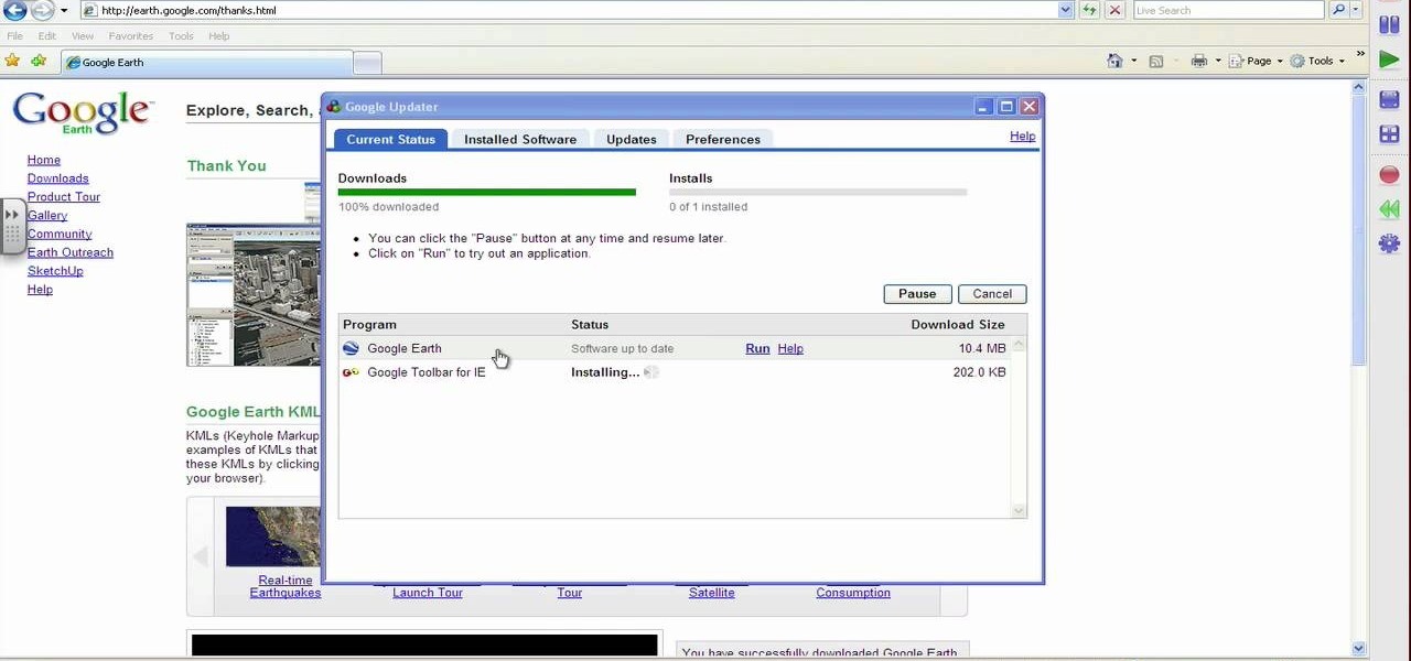
This video shows how to download and use Google Earth. To download it, go to earth.google.com and click “Download Google Earth”. Then follow the directions according to where you want to save it, and it will automatically be installed. You will see an icon pop up on your desktop. Double click on the icon to open Google Earth.

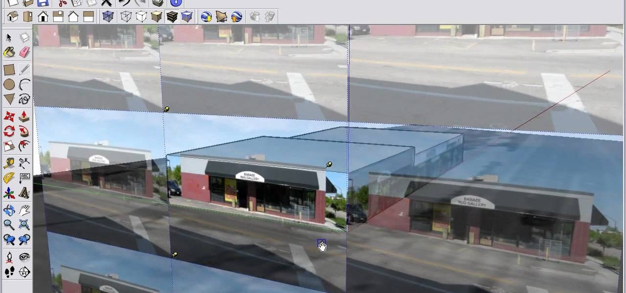
Import a satellite snapshot from Google Earth to Google SketchUp, then use the 3-D editing techniques and a few 2-D photograph as outlined in this tutorial so you can create your own unique image of a landscape that you then re-upload back up to Google Earth!

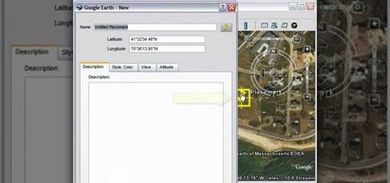
This tutorial walks you through the process of adding a placemark in Google Earth. Follow along as you're shown how to easily add a placemark. Just use the push pin icon, and add your own placemark. Add some information, and drag it to your location, and now you're all set!

Explore the sky in Google Earth 4.2. Learn how to use this online application.

This 3D software modeling tutorial series shows you step by step how to create a suitable model for Google Earth within SketchUp. The series will start by showing you how to export data from Google Earth to use for reference, how to build and optimize the modle, texture it in Photoshop or Picasa and export and load it to Google Earth.

Were you aware that you can browse and view amazing photos from the Hubble Space Telescope within Google Earth? It's easy! So easy, in fact, that this home-computing how-to from the folks at TekZilla can present a complete overview of the process in just over two minutes. For more information, including step-by-step instructions, take a look.

Learn the basic controls and how to use Google Earth to make maps.

Does sitting for hours on end in your office cubicle just make you want to fly away to St. Lucia for a week to bask in the sun? Well, you probably can't do that realistically without taking away from your vacation time, but in the mean time you can fly around virtually using Google Earth's flight simulator.

This three part tutorial covers how to use Google Earth - including some cool features you may not know about. The first part goes over the basics, the second part shows you how to import higher resolution images and textures, and the third part shows you how to add placemarks, calculate distances, add overlays, etc.

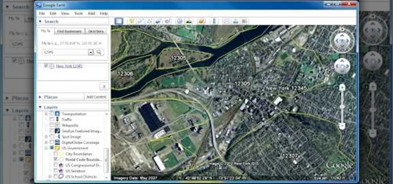
In this clip, you'll learn how to view zip code boundaries with Google Earth. It's easy. So easy, in fact, that this video tutorial can present a complete, step-by-step overview of the process in just over two minutes. For more information, including detailed, step-by-step instructions, take a look.

Bill Myers shows you how to get directions using Google Earth. The cool features of this is you can see exactly what the road will look like and what it would look like through the windshield of your car!

This video describes how to geotag Picasa photos in Google Earth.

This video describes how you can obtain longitude and latitude coordinates in Google Earth.

This video describes the basics of marking locations in Google Earth.

Watch this software tutorial video to learn how to use Google SketchUp to add your own 3D models to Google Earth. Remaking Google Earth in your image will be easy once you've watched this helpful how-to video.

You simply have to see this to believe it. Is this lady stuck in her trunk?! Here's an easy step-by-step tutorial on how to find it! You need Google Earth and a sense of humor. This is a quick navigation to find an outrageous Big Brother sighting. Find the funniest weirdest Google Earth sighting ever.

Enter the warped geography of Clement Valla, a recent R.I.S.D. MFA graduate who fancies himself a sort of Google Earth preservationist. The artist's "Postcards from Google Earth, Bridges" series manipulates the software's alogrithmic mappings as an exploration of human/computer relationships.

This video shows PC users how to download Google Earth. To do this, first open up an internet browser (Internet Explorer, Mozilla Firefox, etc.). Go to the Google homepage and type 'Google Earth' into the search box. Press enter. Click on the link at the top of the list, which should be named 'Google Earth 5.0'. Click on the blue bar that says 'Download Google Earth 5.0' on it. A page will load with the terms and conditions of using Google Earth. Read them, then click 'Agree and Download'. A ...

Just in case you weren't aware, Google has more money than you and I will probably ever see in our lifetime, and now it seems that the search giant will be spending that money sending satellites into space.

It's Earth Day, which means that nonprofits, individuals, and brands are making a concerted effort to raise awareness of environmental issues and how to change behaviors to reverse impacts of pollution, deforestation, and suburban sprawl, among others.

Tonight is the night. Christmas Eve. The night where Santa Claus and his trusty reindeer soar across the skies to deliver presents to all the good little boys and girls around the world. But tell me— do you know where Santa Claus is right now?

More viedos at www.videos.studiorealism.com.

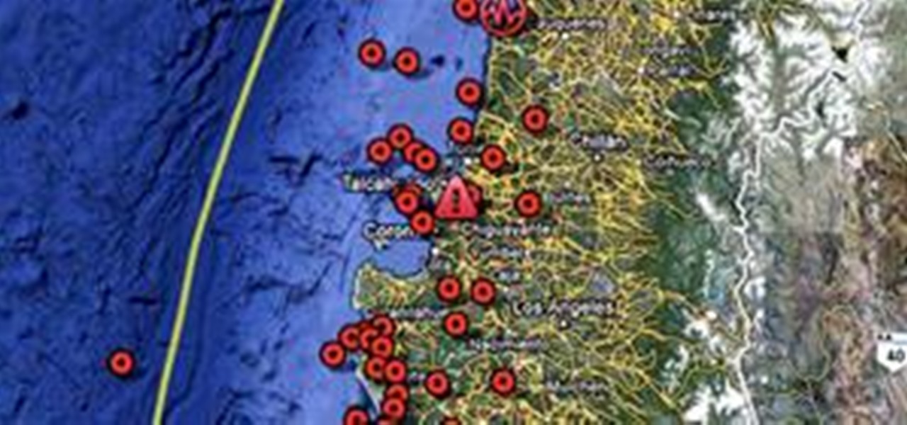
Wow, what can't Google do? Check out the winter Olympics, ride the Trans-Siberian railway, explore the world's largest airplane graveyard, and now, locate Chilean earthquake victims.

Google Earth is a virtual globe application, that you can use to view the Earth, either as a satellite image, a series of aerial photographs, or a superimposed combination of the two.

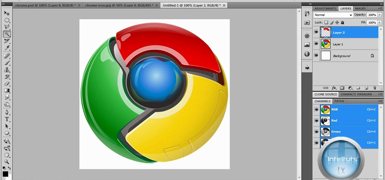
The tutorial shows you how to make a professionally looking Google Chrome logo in Photoshop CS4. To start, download the Google Chrome logo, as well as an Earth picture, in a Zip file from Inteltuts. Next, open the logo file in Photoshop CS4, turn the white background layer into transparent, and transform the logo by de-saturating the picture, but make sure you leave the blue center area untouched. The last step is to transform the Earth picture so that it fits right into the center of the des...

Google worked with design agency B-Reel to create some unique wallpapers for its Pixel and Pixel XL flagships, and the end result is quite stunning. These "Live Earth" wallpapers, as they're called, combine Google Earth's high-def satellite imagery with a 3D parallax effect that changes perspective as you move between screens.

Pixel Perfect is the "perfect" show to help you with your Photoshop skills. Be amazed and learn as master digital artist Bert Monroy takes a stylus and a digital pad and treats it as Monet and Picasso do with oil and canvas. Learn the tips and tricks you need to whip those digital pictures into shape with Adobe Photoshop and Illustrator. In this episode, Ben shows you how to create rotating planets and moons in Photoshop.

In this hands-on workshop, Googlers Mano Marks and Pamela Fox show how to use tools within Google Maps, Google Earth, and Google Spreadsheets to create, import, and edit KML. They also show a quick integration of KML in the Maps API, and briefly mention geo search and indexing. This talk is useful for developers who haven't had a chance to play with the Maps or Earth creation tools yet, and are looking for quick ways to create and share geo-data.

Google is the biggest and best search engine on Earth, and if you are a webmaster and want your website to be a big success it would really behoove you to know as much about how it works as possible. The Google Webmasters series of videos and website were created to teach webmasters, SEO professionals, and others how Google works by answering their questions and giving them insights into how they can best integrate and utilize Google's functionality to improve their business. This video expla...

Google is the biggest and best search engine on Earth, and if you are a webmaster and want your website to be a big success it would really behoove you to know as much about how it works as possible. The Google Webmasters series of videos and website were created to teach webmasters, SEO professionals, and others how Google works by answering their questions and giving them insights into how they can best integrate and utilize Google's functionality to improve their business. This video will ...

Google is the biggest and best search engine on Earth, and if you are a webmaster and want your website to be a big success it would really behoove you to know as much about how it works as possible. The Google Webmasters series of videos and website were created to teach webmasters, SEO professionals, and others how Google works by answering their questions and giving them insights into how they can best integrate and utilize Google's functionality to improve their business. This video will ...

Google is the biggest and best search engine on Earth, and if you are a webmaster and want your website to be a big success it would really behoove you to know as much about how it works as possible. The Google Webmasters series of videos and website were created to teach webmasters, SEO professionals, and others how Google works by answering their questions and giving them insights into how they can best integrate and utilize Google's functionality to improve their business. This video will ...

Google is the biggest and best search engine on Earth, and if you are a webmaster and want your website to be a big success it would really behoove you to know as much about how it works as possible. The Google Webmasters series of videos and website were created to teach webmasters, SEO professionals, and others how Google works by answering their questions and giving them insights into how they can best integrate and utilize Google's functionality to improve their business. This video will ...

Google is the biggest and best search engine on Earth, and if you are a webmaster and want your website to be a big success it would really behoove you to know as much about how it works as possible. The Google Webmasters series of videos and website were created to teach webmasters, SEO professionals, and others how Google works by answering their questions and giving them insights into how they can best integrate and utilize Google's functionality to improve their business. This video expla...


